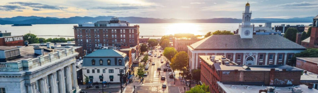
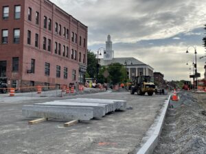
Update May 30, 2025
The Main/S. Winooski intersection is open to North/South/East traffic. The Main/Church intersection is fully closed to vehicle traffic but remains open to pedestrian and bicycle traffic. The Main/St. Paul intersection is fully open to vehicular traffic. The Main/Pine intersection remains closed to vehicular traffic but is fully open to pedestrian and bicycle traffic. Pedestrian traffic is being maintained throughout the project area. The parking lot at Main/S. Winooski is fully open and accessible from both S. Winooski and Main.
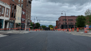
Update May 23, 2025
The Main/S. Winooski intersection is open to North/South traffic. The Main/Church intersection is fully open to pedestrian and bicycle traffic. The Main/St. Paul intersection will fully open to vehicular traffic for the holiday weekend. After the weekend, the intersection will be open to local traffic only. The Main/Pine intersection remains closed to vehicular traffic but is fully open to pedestrian and bicycle traffic. Pedestrian traffic is being maintained throughout the project area.
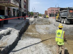
Update May 16, 2025
Main Street from the Main/Church intersection to S. Winooski Ave remains fully closed. The Main/Church intersection remains fully closed. Main/S. Winooski will be partially open for the weekend of 5/16-5/18. The Main/Pine and Main/St. Paul intersections will have partial closures. Pedestrian traffic is being maintained throughout the project area. The parking lot located at the corner of Main and S. Winooski will be closed next week for paving operations.